- Trailhead
- Trip Reports
- Photo Essays
- Map of Hikes
- Hike Calculator
- List of Links
- Why I Hike
- Mountain Towns
- Warning
- Misc. Photos
- Photo Credits
- F A Q
Please click on the mountain images at the top or bottom of the page to navigate this site. Sorry for this temporary inconvenience.
Browns Peak / Huron Peak
July 22, 2000
Gunnison National ForestCollegiate Peaks Wilderness
Starting Elevation:
10,24X feet
Highest Elevation:
14,005 feet
Distance (round trip):
10 3/4 miles
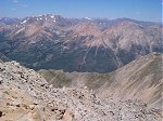
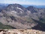
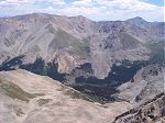
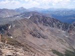
click on each photo to view a larger image
The loop that encompasses Browns Peak (13,523 feet) and Huron Peak (14,005 feet) makes for a nice long day hike with views of many other 14'ers. Be sure to get an early start so that you can beat any weather that may arise while you're out on this 10+ mile hike.
To get there, head south from Leadville on US24 about 19 miles to Forest Road 390 (on your right/west) which is also known as Clear Creek Canyon Road. This road is an all-weather road (gravel) and it was for the most part quite bumpy with many washboard sections throughout. The road will take you the 12 miles or so up to the historic townsite of Winfield. From Winfield, cars can make the drive south about another two-tenths of a mile where you should be able to find a place to park. Off road vehicles can drive in another 2 miles to the actual trailhead to Huron, however this particular hike began where the cars could go no further.
To get there, head south from Leadville on US24 about 19 miles to Forest Road 390 (on your right/west) which is also known as Clear Creek Canyon Road. This road is an all-weather road (gravel) and it was for the most part quite bumpy with many washboard sections throughout. The road will take you the 12 miles or so up to the historic townsite of Winfield. From Winfield, cars can make the drive south about another two-tenths of a mile where you should be able to find a place to park. Off road vehicles can drive in another 2 miles to the actual trailhead to Huron, however this particular hike began where the cars could go no further.
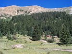
About 1 1/2 miles up the 4WD road I began my climb at the Banker Mine. My pre-trip research indicated that I might find a trail here but I never did. Instead I bushwhacked up the hill to gain elevation and eventually the ridge that led to Browns Peak.
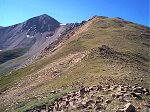
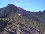
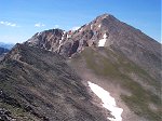
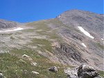
Through the sun glare you can see the terrain along the ridge before the rocky last pitch (about 400 vertical feet) to the summit of Browns Peak.
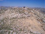
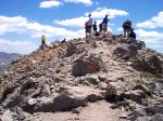
Looking west you can see my daypack and a just found green gaitor propped up on the summit of Browns Peak - 13,523 feet.
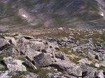
I swear that there are at least three Ptarmigan which may be visible in the larger image. You might be able to locate one of them in the center of the photo.
Eight tenths of a mile to the south of Browns Peak is Huron Peak - 14,005 feet. I had to cross along the top of this ridge to meet up with the more commonly used trail for the last 500 feet (vertical) or so to the summit.
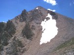
Crags just out off-trail as you approach the last 500 feet of vertical to the summit of Huron Peak. If you click through to the larger image you can see hikers silhouetted over the sky along the ridge to the right.
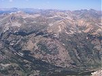
About 6 miles to the north-northwest you have a clear view of La Plata Peak. You can also see Mount Massive and Mount Elbert in this photo.
Two miles directly south of the summit there is an incredible view of the Three Apostles including Ice Mountain (13,951 feet) in the center of the photo.
There are three 14'ers in this photo taken to the east: Mount Belford - 14,197 feet, Missouri Mountain - 14,067 feet, and Mount Harvard - 14,420 feet.
Three more 14'ers - this time looking further to the southeast: Mount Yale - 14,196 feet, Mount Princeton - 14,197 feet, and Mount Antero - 14,269 feet.
Averaging three miles to the west, you can see a long section of the Continental Divide and several shorter peaks including Granite Mountain and another Grizzly Peak.
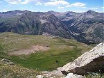
The maintained trail up to Huron Peak (on the right) switches back and forth up/down this high alpine meadow ...
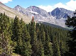
... and goes across this meadow below. Lower down the trail switches back and forth through the trees just about all of the way back to the road.
Along on this hike with me: no one.

