Trailhead
Trip Reports
Photo Essays
Map of Hikes
Hike Calculator
List of Links
Why I Hike
Echo
Mountain Towns
Warning
Misc. Photos
Photo Credits
F A Q


Please click on the mountain images at the top or bottom of the page to navigate this site. Sorry for this temporary inconvenience.

Missouri Mountain

August 25, 2001
San Isabel National Forest
Collegiate Peaks Wilderness
Starting Elevation:
9,681 feet
Highest Elevation:
14,067 feet
Distance (round trip):
10 miles
click on each photo to view a larger image
About 8 miles up Clear Creek Road (?) from Colorado State Highway 24, you will find the trailheads for Mount Belford / Mount Oxford and Missouri Mountain near the "town" of Vicksburg.
The trail for Missouri Mountain coincides with the trail for Mount Belford / Mount Oxford for the first 2.4 miles or so.  This picture shows just beyond that point.
The trail for Missouri Mountain coincides with the trail for Mount Belford / Mount Oxford for the first 2.4 miles or so. This picture shows just beyond that point.
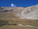
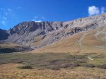
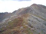
A little further up Missouri Gulch you can begin to see where the trail heads so as to access the ridge.
The highpoint at the left end of that long ridge is our goal - Missouri Mountain.
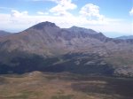
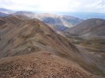
Once on the ridge, you've got a great view of the southwestern side of Mount Belford with the head of Missouri Gulch laid out below.
It's a long traverse over to the summit.
It sure doesn't look that steep from the valley floor!
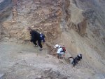
There's really only one challenging part along the trail near the summit.
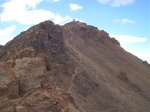
The final pitch to the top.
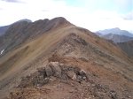
Looking back along the ridge - almost to the summit.
That's me on the summit along with the crowds.
Looking back along the long ridge traverse I came to get here.
And looking down on Missouri Gulch from the summit.
I'm pretty sure that's Mount Hope and Quail Mountain mid-photo, with Mount Elbert looming in the background.
I think that's Mount Harvard left-center mid-photo.
That's Huron Peak - the tall one on the left - just to the west.
Another great shot of Huron Peak.
Ice Mountain a little further southwest.
Along on this hike with me: no one.