Trailhead
Trip Reports
Photo Essays
Map of Hikes
Hike Calculator
List of Links
Why I Hike
Echo
Mountain Towns
Warning
Misc. Photos
Photo Credits
F A Q


Please click on the mountain images at the top or bottom of the page to navigate this site. Sorry for this temporary inconvenience.

Uneva Peak

August 8, 1999
Arapaho National Forest
Eagles Nest Wilderness
Starting Elevation:
10,666 feet
Highest Elevation:
12,522 feet
Distance (round trip):
~ 8 miles ???
click on each photo to view a larger image
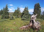
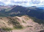
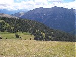
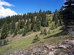
Solitude - just minutes away from Vail Pass.
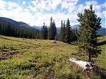
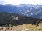
A view down the valley towards the southeast.
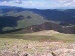
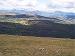
Looking back on the gentle climb as seen from the summit of Uneva Peak.
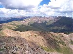
The view of the Gore Range looking to the north-northwest from the summit of Uneva Peak.
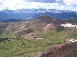
Buffalo Mountain (right center) and Red Peak (left center) as seen from the summit of Uneva Peak.
Mount of the Holy Cross (just left of center) looking west-southwest as seen from the summit of Uneva Peak.
The Tenmile Range looking east from the summit of Uneva Peak.
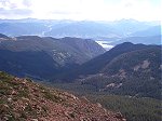
Dillon Reservoir (center), I-70 (left), and the Tenmile Creek Valley below - looking northeast from the summit of Uneva Peak.
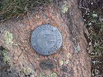
Bench Mark on the summit of Uneva Peak.
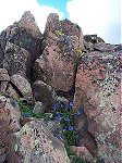
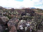
Flowers in the rocks near the summit.
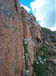
Columbines in the rocks near the summit.
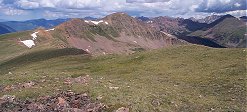
Looking back on the summit of Uneva Peak after traversing this long flat ridge.
More Columbines in the rocks.
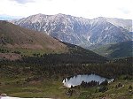
Lost Lake?
Lost Lake?
Another shot looking back on the summit of Uneva Peak (center distant) after traversing this long flat ridge.
Grizzly Peak, Torries Peak, Grays Peak, Tenmile Peak (from left to right).
Wheeler Lakes and Copper Mountain Ski Area.
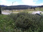
I-70 on the east side of Vail Pass.
This looks like a good place to take a break.
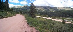
Back at the Vail Pass trailhead.
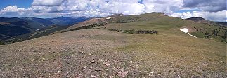
The entire width of my walk above Vail Pass.
Along on this hike with me: no one.