Trailhead
Trip Reports
Photo Essays
Map of Hikes
Hike Calculator
List of Links
Why I Hike
Echo
Mountain Towns
Warning
Misc. Photos
Photo Credits
F A Q


Please click on the mountain images at the top or bottom of the page to navigate this site. Sorry for this temporary inconvenience.
Hager Lake

July 12, 2009
Arapaho National Forest
Starting Elevation:
10,300 feet
Highest Elevation:
12,4XX feet
Distance (round trip):
~ 7.5 miles
click on each photo to view a larger image
This accesable hike a few miles east of Eisenhower tunnel at an off ramp of I-70 goes up a beautiful valley, however beware. It's not as easy as one might think. The gist of this hike is steep, relatively flat, then steep again just before the lake. Don't forget to bring a lunch for hanging out at the lake!
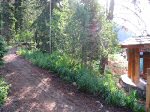
The trailhead with the parking lot slightly visible on the right.
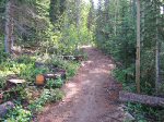
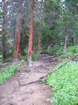
The trail starts out through a firewood cutting area.  I suspect this is related to the Pine Beetle outbreak in the area.
The trail starts out through a firewood cutting area. I suspect this is related to the Pine Beetle outbreak in the area.
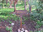
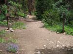
About a fifth of a mile into the hike, you'll reach this trail junction.  Go left.
About a fifth of a mile into the hike, you'll reach this trail junction. Go left.
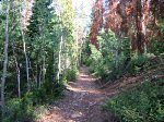
You can clearly see the trees affected by the Pine Beetle outbreak in this photo.
It wasn't until about a half mile into the hike that when the trail approached the roar of Herman Creek that the sound of I-70 dissapeared.
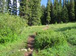
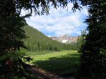
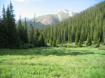
About three quarters of a mile into the hike, the trail passed through this short meadow.
Along the trail ...
Along the trail ...
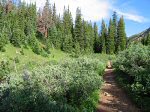
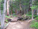
... then back into the trees ...
... then out of the trees.  There's Pettingell Peak directly ahead.
... then out of the trees. There's Pettingell Peak directly ahead.
And looking down valley to the southeast, there's Mount Kelso.
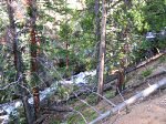
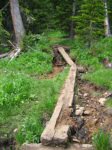
This section of the hike crosses quite a few little streams running down the hillside.
Another one of the many soggy area crossings.
The last part of the hike up to the lake is steeper than going through the meadows and trees.
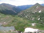
Looking downvalley, you can see that you've gained quite a bit of elevation.
There's a great view of Mount Machebeuf (elev. 12,805 ft.) directly to the east.
About three miles into the hike, the Continental Divide Trail splits off to the right towards Woods Creek and Jones Pass.
Looking east up Jones Pass trail.
And looking west where our trail heads - the final push up to Herman Lake.
Just over three miles in to the hike you've reached the last of the steeps.  This image looks back down on hikers making the final push up the trail.
Just over three miles in to the hike you've reached the last of the steeps. This image looks back down on hikers making the final push up the trail.
And here is where we're going.  Notice how flat it is up here by the lake.
And here is where we're going. Notice how flat it is up here by the lake.
After about three and three-quarters miles of hiking, you finally reach Herman Lake.
With Hager Mountain further up the valley, I headed to below the outlet of the lake to cross Herman Creek so I could climb ...
... up there to that large bench above the waterfall.
Mount Bethel looms over the gully I just bushwhacked up.
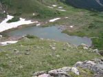
From this vantage point near 12,350 feet elevation, one can easily look down on Hager Lake.
Mouseover the thumbnail image to see where I went to cross Hager Creek below the outlet of the lake.
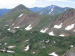
Mount Bethel is prominent in this view with Torreys Peak in off in the distance to the southeast.
I was thinking I might find a small lake up here on the bench above the waterfall, but ...
... climbing a bit higher and looking down on the bench, there's only a network of small streams and marsh.
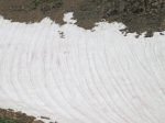
Although I can't be positive, that appears to be a marmot crossing the snowfield in front of me.
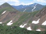
Looking east, one can easily see from left to right, Bard Peak, Woods Mountain, and Mount Parnassus behind Mount Machebeuf.
Looking at the back side of Bard Peak, you can also see Torreys Peak and Grays Peak is also barely visible.
I came back down from the bench above the lake to take a break.  Here's what the gully I came down looks like.
I came back down from the bench above the lake to take a break. Here's what the gully I came down looks like.
I took one last look at the lake before leaving.  You can clearly see the waterfall coming off of the bench in the large version of this image.
I took one last look at the lake before leaving. You can clearly see the waterfall coming off of the bench in the large version of this image.
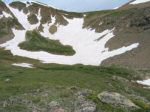
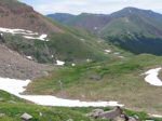
Oops - on the way up, I forgot to tell you about this small snow field crossing the trail near the lake.
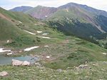
There was another small lake right along the trail up high near Hager Lake.
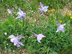
Colorado's Official State Flower - the Columbine - displays deep colors this year and was quite plentiful along the trail.
Don't forget to turn right at the site back down near the bottom of the trail ... otherwise, you're headed to Woods Mountain!
Along on this hike with me: no one.