- Trailhead
- Trip Reports
- Photo Essays
- Map of Hikes
- Hike Calculator
- List of Links
- Why I Hike
- Mountain Towns
- Warning
- Misc. Photos
- Photo Credits
- F A Q
Please click on the mountain images at the top or bottom of the page to navigate this site. Sorry for this temporary inconvenience.
Starting Elevation:
9,920 feet
Highest Elevation:
14,196 feet
Distance (round trip):
10 1/2 miles
click on each photo to view a larger image
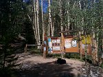
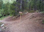
The trailhead for Mount Yale is about 12 miles west of the town of Buena Vista right off of FR 306 which is also known as Cottonwood Pass Road. Apparently at one time there was an old trail that began across the road from the Collegiate Peaks Campground directly up Denny Gulch however the new trail is about a mile further up the road and comes complete with a large parking area.
The trailhead to Mount Yale. This trailhead not only provides access to this peak but also to Brown's Pass and Hartenstein Lake.
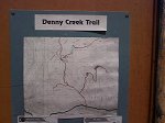
A map is posted showing the trails in the area. The hike up to Mount Yale is the squiggly line on the right with all of the switchbacks showing on the topo map.
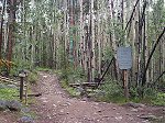
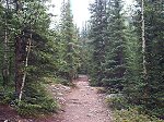
Beyond that, the trail which is quite wide and well traveled continues up through the Denny Creek valley.
Just over a mile into the hike you have a choice of going left towards Browns Pass and Hartenstein Lake or right up to Mount Yale.
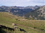
Don't let the plateau about three miles into the hike fool you. There's still a long way to go to get to the top.
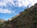
It's a lot further to the saddle than it appears in this photo. Sorry about the sun glare in the camera lens.
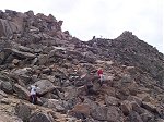
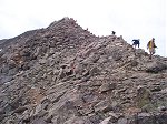
Once you get to the saddle (about 4-1/2 miles into the hike) the trail dissapears into these rocks for the last three quarters of a mile to the summit.
There's a Whistle Pig (Yellow Bellied Marmot) posing in the foreground of this photo taken from the summit looking southwest.
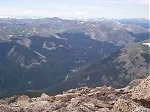
That's Emma Burr Mountain showing prominently in the distance about nine and a half miles again to the southwest.
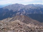
From left to right, Mount Princeton (14,197 feet) dominates the view to the south-southwest while Mount Antero (14,269 feet) and Mount Shavano (14,229 feet) make up the other two distant high points in this photo.
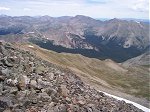
From right to left, Mount Columbia (14,073 feet), Mount Harvard (14,420 feet), Mount Oxford (14,153 feet), Mount Belford (14,197 feet), Missouri Mountain (14,067 feet) and La Plata Peak (14,336 feet) barely visible on the left edge of the shot.
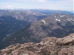
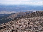
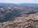
Hartenstein Lake is almost hidden in this valley to the west-southwest of the summit. Cottonwood Pass is just beyond the ridge while Taylor Park Reservoir is slightly visible in the distant right of this photo.
On the summit, the Three Apostles including Ice Mountain (13,951 feet) are shown when looking northwest. Huron Peak (14,005 feet) is barely visible on the right side of this photo.
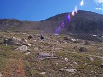
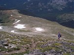
On the way back down, another hiker adds perspective to the trail as it rises through the meadow between 12,750 and 13,500 feet.
Along on this hike with me: no one.

