Trailhead
Trip Reports
Photo Essays
Map of Hikes
Hike Calculator
List of Links
Why I Hike
Echo
Mountain Towns
Warning
Misc. Photos
Photo Credits
F A Q


Please click on the mountain images at the top or bottom of the page to navigate this site. Sorry for this temporary inconvenience.

Mount Princeton

July 23, 1999
San Isabel National Forest
Starting Elevation:
10,800 feet
Highest Elevation:
14,197 feet
Distance (round trip):
~ 8 miles ???
click on each photo to view a larger image
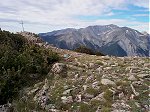
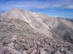
Mount Antero as seen from the end of the road above Bristlecone Park.
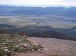
A view of the radio towers (on the hill center-right in the image) and the Arkansas river valley below as seen from the end of the road above Bristlecone Park.
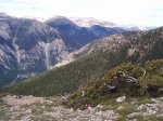
The view west-southwest up the Salt Creek valley as seen from the end of the road above Bristlecone Park.
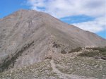
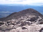
I had to get over this sub peak ...
... just to see my goal for the day.  Mount Princeton!
... just to see my goal for the day. Mount Princeton!
Looking back on the way I came.  That's Pikes Peak on the horizon (top left).
Looking back on the way I came. That's Pikes Peak on the horizon (top left).
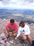
A couple of happy hikers on the summit [Mary and David].
From the summit looking north-northwest, you can see Mount Yale (left), Mount Harvard (center distant), and Mount Columbia (right).
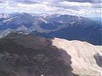
From the summit looking west towards the West Elks mountain range.
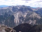
Another view of Mount Antero from the summit of Mount Princeton.
Mark and Kathy getting ready to celebrate.
Happy birthday to you.  happy birthday to you.  Happy birthday dear Mark, happy birthday to you!  (Should we tell the world how old you are?)  Mark is now 40!
Happy birthday to you. happy birthday to you. Happy birthday dear Mark, happy birthday to you! (Should we tell the world how old you are?) Mark is now 40!
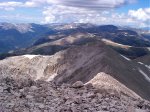
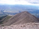
From the summit, looking back towards the sub-peak I had to climb to get to the summit of Mount Princeton.  The trail back down is visible traversing the face of the mountain below.
From the summit, looking back towards the sub-peak I had to climb to get to the summit of Mount Princeton. The trail back down is visible traversing the face of the mountain below.
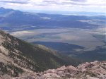
The town of Buena Vista is visible in the Arkansa river valley below.  South Park is located behind the ridge further to the east (top of photo).
The town of Buena Vista is visible in the Arkansa river valley below. South Park is located behind the ridge further to the east (top of photo).
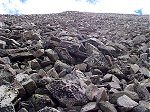
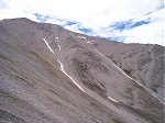
Looking straight up the mountain from on the grand traverse.
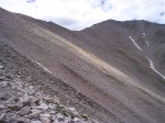
Looking back towards the summit of Mount Princeton from on the grand traverse.
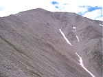
Another view of Mount Princeton from on the grand traverse.
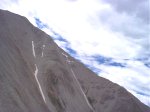
Horizontal stratification?
No.  Another view of the same face, this time with the camera horizontal.
No. Another view of the same face, this time with the camera horizontal.
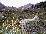
Wild flowers (foreground) with the ridge up Mount Princeton beyond.
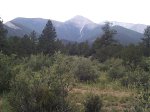
A good view of the sub-peak and Mount Princeton (almost hidden by the tree right-center) from the road off the mountain.
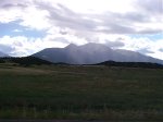
And finally, Mount Princeton as seen from the floor of the Arkansas river valley.
Along on this hike with me: no one.