
Trailhead
Trip Reports
Photo Essays
Map of Hikes
Hike Calculator
List of Links
Why I Hike
Echo
Mountain Towns
Warning
Misc. Photos
Photo Credits
F A Q
Trip Reports
Photo Essays
Map of Hikes
Hike Calculator
List of Links
Why I Hike
Echo
Mountain Towns
Warning
Misc. Photos
Photo Credits
F A Q
Please click on the mountain images at the top or bottom of the page to navigate this site. Sorry for this temporary inconvenience.
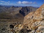
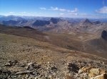
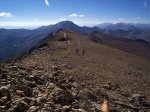
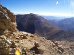
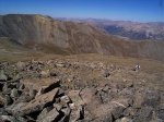
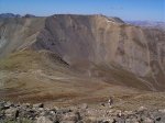
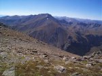
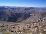
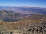
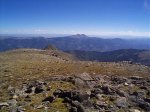
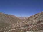
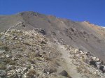
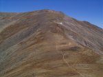
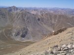
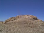
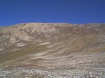
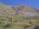
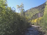
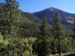
Mount Belford / Mount Oxford
September ??, 1998
San Isabel National Forest
Collegiate Peaks Wilderness
Starting Elevation:
9,68X feet ?
Highest Elevation:
14,197 feet
Distance (round trip):
12 1/2 miles
click on each photo to view a larger image
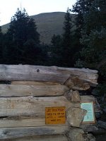
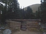
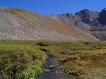
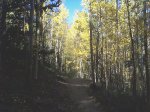
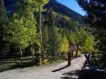
About 8 miles up Clear Creek Road (?) from Colorado State Highway 24, you will find the trailheads for Mount Belford / Mount Oxford and Missouri Mountain near the "town" of Vicksburg.
Note: I debated with myself for quite some time as to whether or not to put these images online. This is because ALL of the photos contain a vertical smudge right in the middle. Due to this smudge, I would like to apologize in advance for the quality of the images associated with this hike.
Note: I debated with myself for quite some time as to whether or not to put these images online. This is because ALL of the photos contain a vertical smudge right in the middle. Due to this smudge, I would like to apologize in advance for the quality of the images associated with this hike.
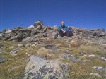
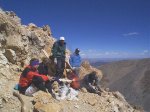

Along on this hike with me: no one.
