Trailhead
Trip Reports
Photo Essays
Map of Hikes
Hike Calculator
List of Links
Why I Hike
Echo
Mountain Towns
Warning
Misc. Photos
Photo Credits
F A Q


Please click on the mountain images at the top or bottom of the page to navigate this site. Sorry for this temporary inconvenience.

South Arapaho Peak

August 1, 1998
Arapaho National Forest
Indian Peaks Wilderness
Starting Elevation:
~ 10,121 feet
Highest Elevation:
13,397 feet
Distance (round trip):
7 miles
click on each photo to view a larger image
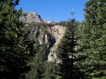
A waterfall across the valley.
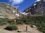
The turnoff to Arapaho Glacier.
South Arapaho Peak (left) and North Arapaho Peak (right).
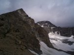
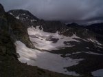
Arapaho Glacier.
Arapaho Glacier.
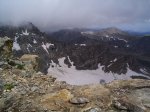
Storm clouds moving in over Audobon Mountain.
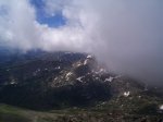
Clouds coming in over the valley.
Boulder County watershed.
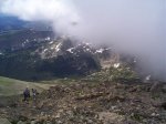
Hikers trying to beat the clouds to the summit.
Storm clouds over North Arapaho Peak.
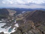
A look down valley.
A look down valley.
Another look down valley.
Along on this hike with me: no one.