- Trailhead
- Trip Reports
- Photo Essays
- Map of Hikes
- Hike Calculator
- List of Links
- Why I Hike
- Mountain Towns
- Warning
- Misc. Photos
- Photo Credits
- F A Q
Please click on the mountain images at the top or bottom of the page to navigate this site. Sorry for this temporary inconvenience.
Starting Elevation:
11,08X feet
Highest Elevation:
13,950 feet
Distance (round trip):
7 1/2 miles
click on each photo to view a larger image
Waterfalls, lakes, and rocks ...
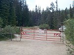
The easiest way to describe how to get to the trailhead for Pacific Peak is to begin from Breckenridge. About 8 miles south of the center of town on US 9, just after completing the first several of many switchbacks you will see on your right an all-weather (gravel) road - 850 Road. This is the road that follows Monte Christo Creek up to Blue Lakes. You need to make this right turn off of the pavement, however don't go too far - less than one-tenth of a mile you will need to take another right on 851 Road. [851 Road coincidentally takes you up to the most popular trailhead for Quandary Peak.] Drive about 2 1/4 miles along 851 Road until it ends at a gate. You shouldn't have too much of a problem finding a parking spot along the road near the gate.
The easiest way to describe how to get to the trailhead for Pacific Peak is to begin from Breckenridge. About 8 miles south of the center of town on US 9, just after completing the first several of many switchbacks you will see on your right an all-weather (gravel) road - 850 Road. This is the road that follows Monte Christo Creek up to Blue Lakes. You need to make this right turn off of the pavement, however don't go too far - less than one-tenth of a mile you will need to take another right on 851 Road. [851 Road coincidentally takes you up to the most popular trailhead for Quandary Peak.] Drive about 2 1/4 miles along 851 Road until it ends at a gate. You shouldn't have too much of a problem finding a parking spot along the road near the gate.
The gate where the trail begins. Beyond the gate, head left as the trail corresponds to the road for approximately the first third of a mile.
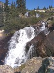
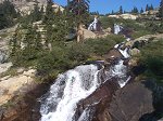
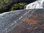
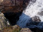
Another view of the same waterfalls. As this is a dry year, I wonder what these would look like in a wet year?
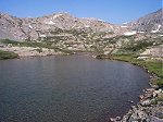
A short distance above the waterfalls you arrive at the first of several high mountain lakes. This one sits at about 11,900 feet.
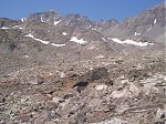
Looking west-southwest, the valley opens up into an expanse of rock - fortunately, the way to Pacific Peak west-northwest instead! Quandary Peak (not visible) is just to the left of this photo.
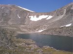
As there is no longer a trail to follow, a route to the top was chosen by going around the south side of this lake (12,695 feet) and up through the dry spot in the snow covered saddle.
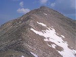
Above the saddle there's a high spot at about 13,560 feet which provides a good view directly north to the face of Pacific Peak. From here it's a direct push three tenths of a mile and 430 feet to the top.
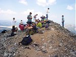
Upon reaching the summit of Pacific Peak (13,950 feet) on this mid-week hike, I was surprised to find a group of about two dozen people on the top. Hopefully this church group from Texas heeded my advice not to stay too long as there was weather moving in quickly.
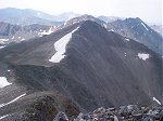
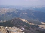
From the top, you can see a summit sometimes called Atlantic Peak just to the south. The high point mentioned in the previous photo is barely visible on the left hand side of this photo. On the horizon, (from left to right) are Mount Lincoln, Mount Cameron, and Mount Democrat.
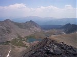
Looking east, the haze in the sky in this photo comes from the wild fires burning throughout the Western US. These lakes are called Mohawk Lakes and are located one valley north of the route taken this day.
To the north-northwest you can look over the top of the Copper Mountain Ski Area to see I-70 just south of Frisco.
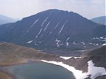
So THAT's what Quandary Peak looks like from the northwest. This lake, just below the summit of Pacific Peak sits at 13,408 feet.
Along on this hike with me: no one.

