
- Trailhead
- Trip Reports
- Photo Essays
- Map of Hikes
- Hike Calculator
- List of Links
- Why I Hike
- Mountain Towns
- Warning
- Misc. Photos
- Photo Credits
- F A Q
Please click on the mountain images at the top or bottom of the page to navigate this site. Sorry for this temporary inconvenience.
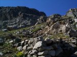
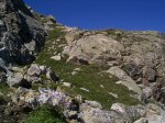
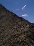
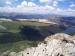
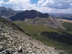
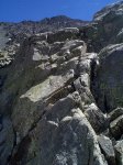
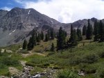
Starting Elevation:
~ 11,2XX ? feet
Highest Elevation:
12,6XX ? feet
Distance (round trip):
8 miles
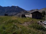
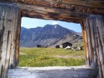
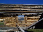
click on each photo to view a larger image
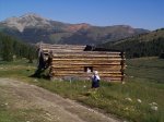
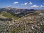
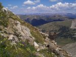

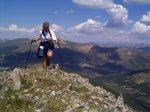
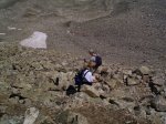
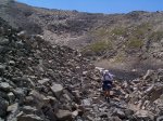
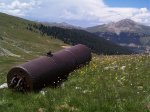
Along on this hike with me: Tim and Erin.
