Trailhead
Trip Reports
Photo Essays
Map of Hikes
Hike Calculator
List of Links
Why I Hike
Echo
Mountain Towns
Warning
Misc. Photos
Photo Credits
F A Q


Please click on the mountain images at the top or bottom of the page to navigate this site. Sorry for this temporary inconvenience.

James Peak

September 12, 1998
Arapaho National Forest
Starting Elevation:
10,2XX feet ?
Highest Elevation:
13,294 feet
Distance (round trip):
~ 8 miles
click on each photo to view a larger image
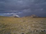
Mount Bancroft (left) and James Peak (right).
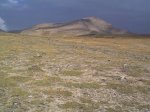
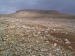
The flats leading west to James Peak.
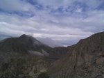
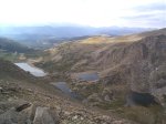
Ice Lake nestled between James Peak and Mount Bancroft.
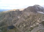
Steuart Lake at the foot of Mount Bancroft.
Steuart Lake and Loch Lomond.
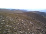
... almost to the summit.  Looks close, doesn't it?
... almost to the summit. Looks close, doesn't it?
In person this scene was really much better than this photo (...you really had to be there).
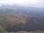
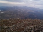
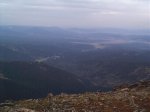
Winter Park and Mary Jane ski areas as seen by looking northwest from the summit of James Peak.
The view north-northeast towards Rocky Mountain National Park and Long's Peak.
The view north-northwest towards Fraser.
Along on this hike with me: no one.