Trailhead
Trip Reports
Photo Essays
Map of Hikes
Hike Calculator
List of Links
Why I Hike
Echo
Mountain Towns
Warning
Misc. Photos
Photo Credits
F A Q


Please click on the mountain images at the top or bottom of the page to navigate this site. Sorry for this temporary inconvenience.

Byer's Peak

July 11, 1999
Arapaho National Forest
Byer's Peak Wilderness
Starting Elevation:
10,4XX feet ?
Highest Elevation:
12,804 feet ?
Distance (round trip):
~ 3 miles ?
click on each photo to view a larger image
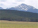
A view of Byer's Peak - our destination - from the Fraser Valley floor.
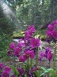
Early morning wild flowers along the trail.
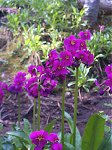
Another view of the same flowers.
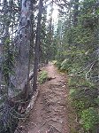
A typical stretch of the first half mile of trail.
Coming out of the trees with the destination in sight.
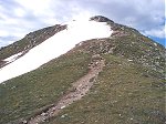
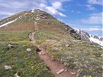
Once above the trees the trail goes up ...
... and up ...
... and up ...
... and up ...
... and up ...
... and up ...
... and up ...
... and up ...
... and up ...
... and we're almost there ...
Finally on top!  [Timer photo of the author.]
Finally on top! [Timer photo of the author.]
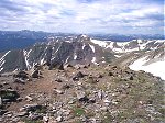
A view of Bill's Peak and the Gore Range on the horizon to the west.
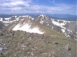
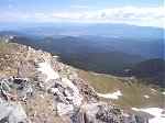
The view to the southwest.
Mount Evans (?) to the south.
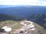
Indian Peaks Wilderness (right center), Rocky Mountain National Park (left center), and the town of Fraser in the valley below.
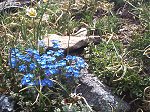
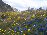
My favorite type of wild flowers.
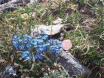
Note how small they are.  Do you see the penney?
Note how small they are. Do you see the penney?
No words can describe what you see here.
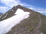
A view of the trail as it follows the ridge back down.  [Note: if you click through to the larger image you may be able to notice the road to the trailhead hidden in the trees just to the left of the knob near the middle of the image.]
A view of the trail as it follows the ridge back down. [Note: if you click through to the larger image you may be able to notice the road to the trailhead hidden in the trees just to the left of the knob near the middle of the image.]
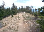
A view of the trail as it heads back down into the trees.
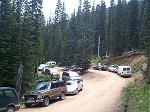
Where did all of those cars at the trailhead come from?  The Crack of Noon Club?
Where did all of those cars at the trailhead come from? The Crack of Noon Club?
A view of Byer's Peak from the Fraser Valley floor.  [Same pic as first photo.]
A view of Byer's Peak from the Fraser Valley floor. [Same pic as first photo.]
Along on this hike with me: no one.