Trailhead
Trip Reports
Photo Essays
Map of Hikes
Hike Calculator
List of Links
Why I Hike
Echo
Mountain Towns
Warning
Misc. Photos
Photo Credits
F A Q
Trip Reports
Photo Essays
Map of Hikes
Hike Calculator
List of Links
Why I Hike
Echo
Mountain Towns
Warning
Misc. Photos
Photo Credits
F A Q
Please click on the mountain images at the top or bottom of the page to navigate this site. Sorry for this temporary inconvenience.
Starting Elevation:
9,934 feet
Highest Elevation:
13,078 feet
Distance (round trip):
9 miles
click on each photo to view a larger image
To find the trailhead for Whale Peak you have to begin by taking the gravel road up Hall Valley where unless you have a high-clearance vehicle, you might find it best to park at the Hall Valley Campground. [Note: If you park at the Hall Valley Campground, this adds about a mile each way to your hike - this distance IS included in the length of the hike as shown above.] The road up to the campground is found on the north side of Highway 285 about 4 miles EAST of the summit of Kenosha Pass. Once you've parked near the campground, hike up this road about another mile to find the actual trailhead.
I parked my car just beyond the campground at a water crossing I wasn't quite sure about. [The car has been turned around and is parked facing back down the road.]
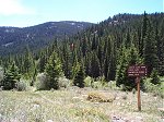
This is the actual trailhead about a mile from the Hall Valley Campground. If you have a 4x4 or high clearance vehicle, you can drive to this point. Note: This photo was taken on the way back down.
Unfortunately, the camera stayed in my pack for the first part of this hike - therefore I didn't take a single photo from the first three miles of the trail through the woods and out into the open up at Gibson Lake.
Gibson Lake - this is not a true panoramic image but rather three photos attempting to create the feel of being surrounded by the mountains. You can mouseover the image to see my path from the lake up to the summit of Whale Peak.
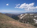
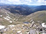
Upon arriving at the saddle on the ridge (marked as "1" in the panoramic mouseover image above) I could see into the next valley to the west which contains the Jefferson Lake Fork of Jefferson Creek.
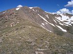
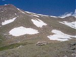
Also from the saddle at point "1", this is the view looking up towards the ridge route to the summit of Whale Peak.
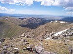
And this is the view of this same ridge looking back down the mountain with South Park in the distance. That would be point "1" you see as the low point along this ridge.
From the summit, looking just east of direct north, Grays and Torreys peaks can be seen just left of center in this photo.
And an even better shot of Grays and Torreys.
Bald Mountain dominates this photo looking west-southwest. The the right of Bald Mountain is Quandry Peak and the Tenmile Range. The Brekenridge ski area is also faintly visible in this photo (center right over the first ridge).
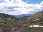
Looking back down the valley from which I came. That would be the Lake Fork of the North Fork of the South Platte river.
I wasn't too sure about the clouds and I had seen virga in the distance, therefore I beat-feet to get down the mountain fairly quickly taking this route which was further north and east of the summit.
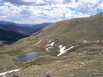
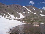
Shuuuuuuuush. It was nice and quiet and very private at this little lake which sits at around 12,040 feet and is all but hidden below the summit.
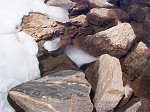
This image may not mean much to you but I thoroughly enjoyed observing this small piece of ice floating along the edge of this little lake while I relaxed.
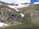
Further down yet still above Gibson Lake, these waterfalls were much louder than you might imagine. The drainage sits between Whale Peak and Bullion (Peak?) elevation - 12,948 ft.
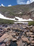
And finally, one last view of the Lake Fork of the North Fork of the South Platte river with the Kenosha Mountains in the distance.
Along on this hike with me: no one.

![I parked my car just beyond the campground at a water crossing I wasn't quite sure about. [The car has been turned around and is parked facing back down the road.] I parked my car just beyond the campground at a water crossing I wasn't quite sure about. [The car has been turned around and is parked facing back down the road.]](thumbs/whale_26.jpg)
