
Trailhead
Trip Reports
Photo Essays
Map of Hikes
Hike Calculator
List of Links
Why I Hike
Echo
Mountain Towns
Warning
Misc. Photos
Photo Credits
F A Q
Trip Reports
Photo Essays
Map of Hikes
Hike Calculator
List of Links
Why I Hike
Echo
Mountain Towns
Warning
Misc. Photos
Photo Credits
F A Q
Please click on the mountain images at the top or bottom of the page to navigate this site. Sorry for this temporary inconvenience.
Starting Elevation:
12,280 feet
Highest Elevation:
14,036 feet
Distance (round trip):
~ 4.9 miles
click on each photo to view a larger image
Just east of the town of Leadville, Colorado, lay Mount Sheman as well as several other easily climbable peaks including Mount Sheridan. Although it can be a little tricky finding the correct road, from the historic marker on the south end of town, head east up just about any of the city streets and after 3 blocks, turn right, which will put you on a road which takes you southeast. Continue on this road past some old mining tailings ponds and on towards the historic site of Oro City (about 2 1/2 miles from town). After winding around several drainages and driving several more miles you will need to turn left on a poorly marked gravel road which heads up the hill and into Iowa Gulch. As this road is not marked very well, if you end up at a dead end at the Hellena Mine, retrace your route and the road you seek will be the best maintained road shooting back off to your right. If you don't miss the turn off your total drive from Leadville to where the hike begins will be about 7 3/4 miles.

. In the larger image you can make out in the saddle a blur which is actually a tower for high power transmission lines.")
")
.")
 which I did not climb this day.")
. I see that I just have to get over there to the big one in the sun - that shouldn't be too hard.")


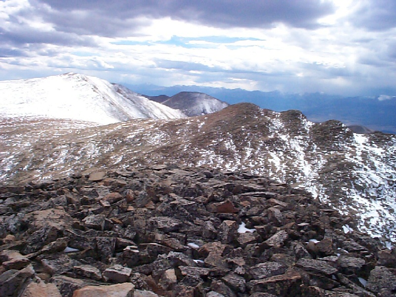
 looks like to the east.")


Along on this hike with me: no one.
