Trailhead
Trip Reports
Photo Essays
Map of Hikes
Hike Calculator
List of Links
Why I Hike
Echo
Mountain Towns
Warning
Misc. Photos
Photo Credits
F A Q


Please click on the mountain images at the top or bottom of the page to navigate this site. Sorry for this temporary inconvenience.

Brainard Lake Recreation Area

June 24, 1999
Roosevelt National Forest
Starting Elevation:
X,XXX feet ?
Highest Elevation:
11,XXX feet ?
Distance (round trip):
~ 5 miles ?
click on each photo to view a larger image
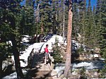
Kaye watching the water go by.  Note that the trail on the far side of the bridge is completely covered with snow.
Kaye watching the water go by. Note that the trail on the far side of the bridge is completely covered with snow.
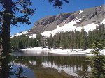
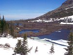
One of the many lakes along the Mitchell Lake Trail.
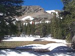
A beautiful meadow ...     ... once the snow melts.
Continuing up the valley towards Blue Lake.
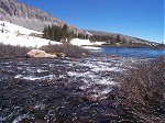
Lots of water running off the mountains ...
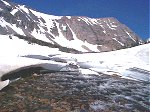
A snowfield erroded by the rushing water.
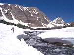
Kaye and Bernie add scale to the scene.
Mount Audubon to the North.
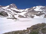
Blue Lake still completely covered with ice.  Note the waterfall on the far side of the lake.
Blue Lake still completely covered with ice. Note the waterfall on the far side of the lake.
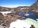
Open water near the outlet of Blue Lake.
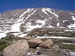
Mount Audubon to the north again.  Note that this photo was taken from just East of Blue Lake.
Mount Audubon to the north again. Note that this photo was taken from just East of Blue Lake.
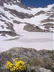
Wild flowers amongst the snow and ice.
More lakes along the trail (on the way back down).
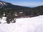
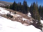
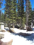
Can you find the trail in this photo?
Or this one?  [More lakes along the trail.]
Or this one? [More lakes along the trail.]
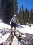
Bernie crossing a log bridge at high water.
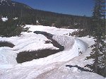
Mitchell Creek erroded this snow bank to the point of collapse.
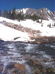
The trail back down near the trailhead.  Note the abundance of snow and water.
The trail back down near the trailhead. Note the abundance of snow and water.
Along on this hike with me: Kaye and Bernie.